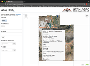
Atlas
esrijs, WebAPI , Discover , AGRC widgets
The Utah Atlas with helpful labels and pop-ups when points are clicked on the map.
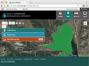
Watershed Restoration Initiative
esrijs, WebAPI , Discover , ASP.NET WebAPI
The Watershed Restoration Initiative website uses a shared web map to enable inter-agency project and resource coordination.
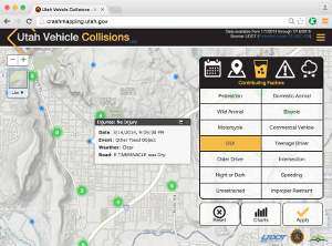
Vehicle Collision Map
esrijs, Discover , ASP.NET WebAPI
A statewide map of vehicle crashes, reported across all jurisdictions, that allows dynamic filtering for time, date, cause, severity, etc.
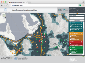
Economic Development Map
esrijs, WebAPI , Discover ,
Utah's Economic Development Map depicts the landscape of what's important to businesses considering relocating to Utah.
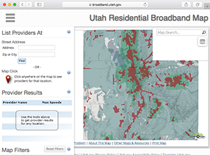
Residential Broadband Map
esrijs, WebAPI , Discover , AGRC widgets
The map attempts to provide consumers, community leaders, and broadband providers with a comprehensive map-based view of non-confidential data complied by the Utah Broadband Outreach Center.
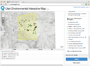
Environmental Interactive map
esrijs, WebAPI , Discover , ASP.NET WebAPI, AGRC widgets
Search for site-specific information relating to DEQ programs including regulated environmental sites, facilities, and designations.
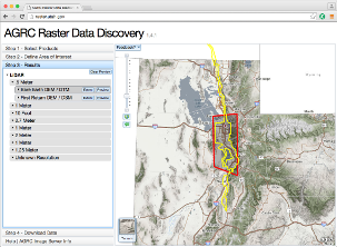
Raster Data Discovery
esrijs, WebAPI , Discover , Image Server
Download all of the imagery, elevation, lidar, and scanned maps available from Utah's SGID.
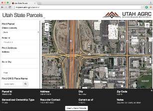
State Parcel Map
esrijs, WebAPI , Discover , AGRC widgets
Zoom in to view parcel boundaries and basic attributes as assembled statewide by AGRC, in coordination with County Recorders.
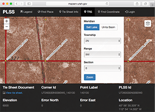
PLSS Corner Management
esrijs, WebAPI , Discover , AGRC widgets , ASP.NET MVC
A statewide collection of monument locations are accessible to the public from the AGRC PLSS Corner Management Web Application.