DEQ Environmental Map
Tools for finding and discovering environmental impacts
Why
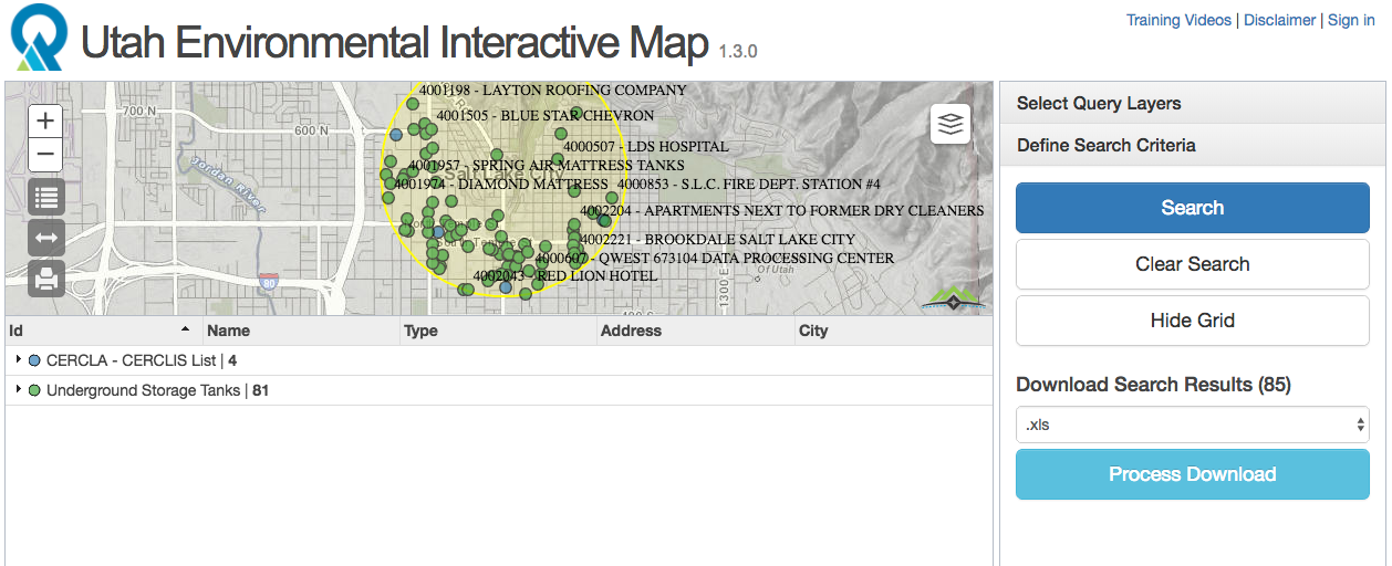
One of the critical missions of the Utah Departement of Environmental Quality (DEQ) is to provide access to government records as conveniently as possible. The DEQ Interactive Map allows users to search for and download data regarding sites regulated by DEQ. This application is used by a wide audience of citizens and professionals and has proven to be of much value to DEQ to handle environmental information requests of basic to intermediate complexity.
The overall concept of the DEQ Interactive Map is to organize the data geographically and to integrate the data across divisions and programs. The interface was designed to allow searches by address, city, site name, DEQ program ID number or by zooming in on a map location of interest. The results are displayed on the map and allow access to site specific details. The search results return feature information for programs of DEQ and each of its divisions.
Data Challenges
The main challenge for this project has been trying to gather and standardize the wide variety of data sources so that they can be presented in a consistent manner within the application. There are several Forklift pallets that run nightly to update and normalize the data.